Choice Made Simple!
Too many options?Click below to purchase an online gift card that can be used at participating retailers in Village Green Shopping Centre and continue your shopping IN CENTRE!Purchase HereHome
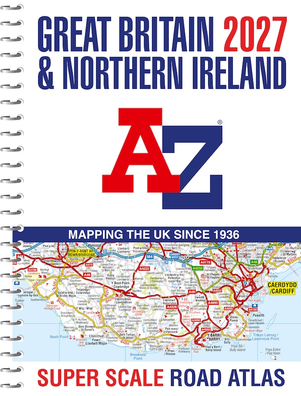
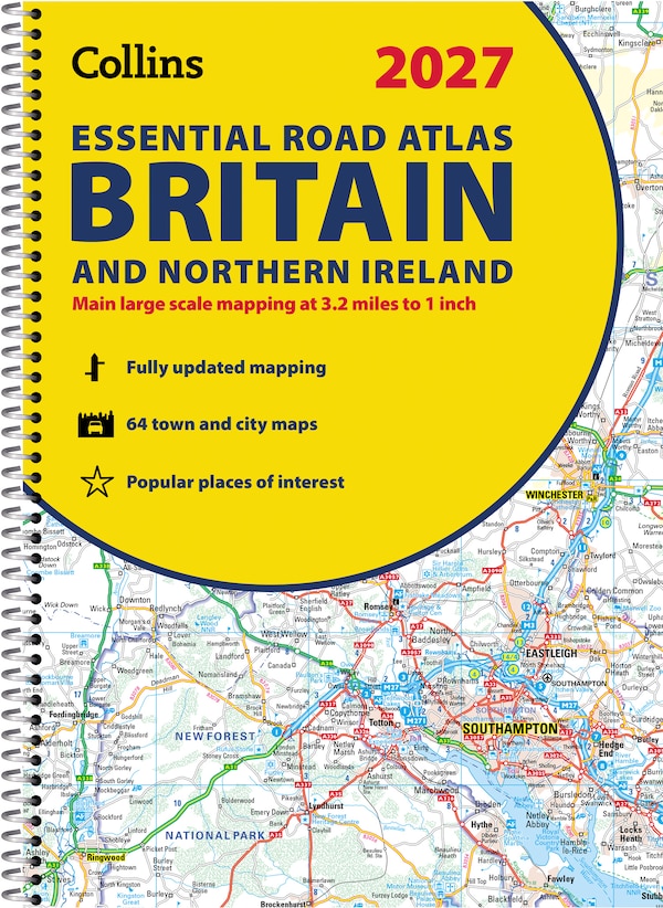
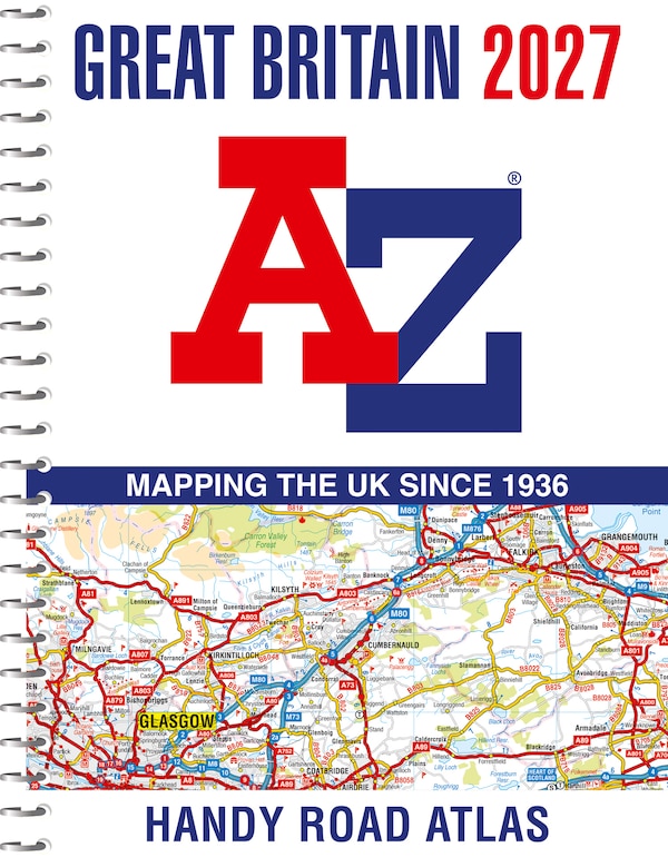
Great Britain A-Z Handy Road Atlas 2027 (A5 Spiral) by A-z Maps, Spiral Bound | Indigo Chapters
Coles
Loading Inventory...
Great Britain A-Z Handy Road Atlas 2027 (A5 Spiral) by A-z Maps, Spiral Bound | Indigo Chapters in Vernon, BC
From A-z Maps
Current price: $17.99
Coles
Great Britain A-Z Handy Road Atlas 2027 (A5 Spiral) by A-z Maps, Spiral Bound | Indigo Chapters in Vernon, BC
From A-z Maps
Current price: $17.99
Loading Inventory...
Size: 16 x 192 x 270
*Product information may vary - to confirm product availability, pricing, shipping and return information please contact Coles
Navigate your way around Great Britain with this detailed and easy-to-use A-Z Road AtlasA full-colour, spiral bound road atlas, now fully revised and updated. Clear detailed road mapping at a scale of 5 miles to 1 inch. Presented in a compact A5 size for ease of storage. This handy road atlas of Great Britain includes:Mileage chartChannel Tunnel terminus mapsIndex to cities, towns, villages, hamlets and major destinationsMap reference information also in French and GermanInstantly recognisable and easy to use, the road mapping has been specifically tailored for the smaller scale featuring: clear standard road classification colours for easy identification, motorway junction symbols, under construction and proposed roads, primary route destinations, service areas, National and county boundaries, and a wide range of tourist and ancillary information, including Blue Flag Beaches. This A-Z Handy Road Atlas of Great Britain and Northern Ireland is the perfect choice for those wanting a compact spiral bound publication with A-Z quality road mapping. | Great Britain A-Z Handy Road Atlas 2027 (A5 Spiral) by A-z Maps, Spiral Bound | Indigo Chapters
Navigate your way around Great Britain with this detailed and easy-to-use A-Z Road AtlasA full-colour, spiral bound road atlas, now fully revised and updated. Clear detailed road mapping at a scale of 5 miles to 1 inch. Presented in a compact A5 size for ease of storage. This handy road atlas of Great Britain includes:Mileage chartChannel Tunnel terminus mapsIndex to cities, towns, villages, hamlets and major destinationsMap reference information also in French and GermanInstantly recognisable and easy to use, the road mapping has been specifically tailored for the smaller scale featuring: clear standard road classification colours for easy identification, motorway junction symbols, under construction and proposed roads, primary route destinations, service areas, National and county boundaries, and a wide range of tourist and ancillary information, including Blue Flag Beaches. This A-Z Handy Road Atlas of Great Britain and Northern Ireland is the perfect choice for those wanting a compact spiral bound publication with A-Z quality road mapping. | Great Britain A-Z Handy Road Atlas 2027 (A5 Spiral) by A-z Maps, Spiral Bound | Indigo Chapters